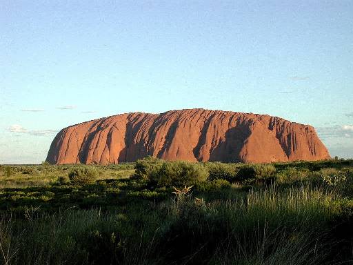
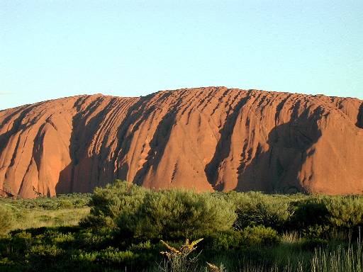
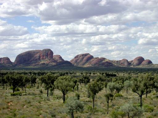
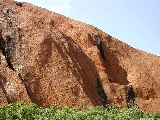
Perhaps Australia's most famous geographic feature, Uluru (Ayers Rock) is the world's largest monolithic rock formation, measuring several miles around. (The hiking trial around the base is about 9 km or 5.4 miles.) The name Uluru comes from the Anangu clan of Aboriginals, who have considered the area sacred for thousands of years. Likewise, Kata Tjuta is the name given to a cluster of 36 domelike rock formations about 20 miles west of Uluru.
Click on thumbnails to see larger versions of these pictures.
Location of Uluru: latitude 25° 21' S, longitude 131° 1' E, elevation 1675 feet (at base of rock - the rock rises another 1140 feet above ground level)
Left (2) - Uluru near sunset, when the
reddish-orange colors deriving from the oxidized sandstone appear spectacular.
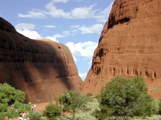
Right (2) - The neighboring Kata-Tjuta rock formations, including Olga
Gorge and hikers on trail.
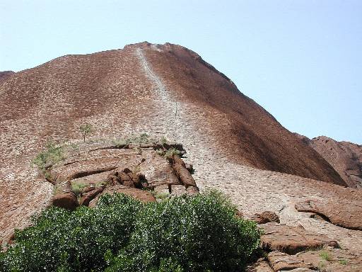
Left - The "climb," the only trail
leading to the top of the rock. The Anangu prefer that Uluru not be
climbed because of its spiritual importance.
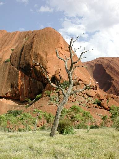
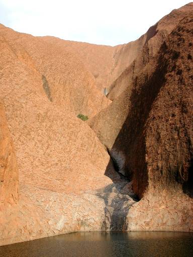
Center (3) - Various scenes around the base of Uluru, including an area
where water collects after a desert rain.
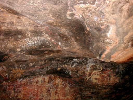
Right - Native rock paintings, mostly fairly recent in origin.

Left - Eric at the Desert Gardens Hotel, Ayers Rock
Resort.
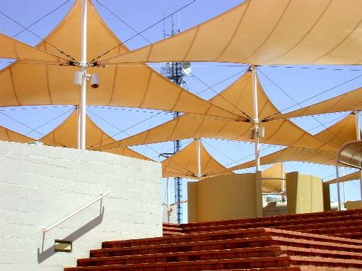
Right - "Sails" providing sun shade at the resort.
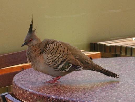
Left - A crested pigeon, a common bird at the
resort!
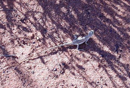
Center - A lizard on one of the trails in the resort area.
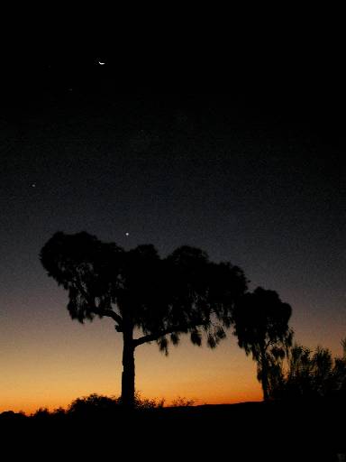
Right - A desert sunset, with silhouetted tree and crescent moon above.